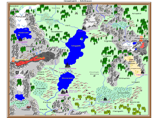
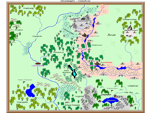
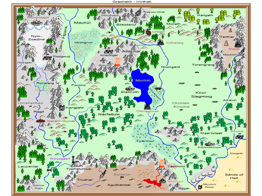
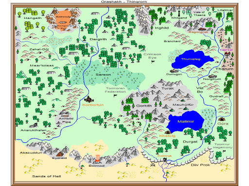
Named after an orc captain that heroically died while serving the Covenant, Grashakh is a region of middle Brucrumus. The western edge of this region is bounded by a mountain range called the Giant Steps. In the Titan Era, these ice-capped peaks were home to the Glangveif, a frost giant empire of such might that only other Titan Empires dared contest it.
In the Second Epoch, orcs under an ageless leader marched north into this region. In what became known as the Arduous March (1041 - 1096), they carved out a new living space. These orcs, the Githirmil are the citizen-soldiers of the Orchish Empire.
Beneath Grashakh is the Underdark region Imgangreth.
The cities of Grashakh are commonly referred to as the High Citadels; that with the lowest elevation is at 4,000'. Cities and great strongholds are at higher elevations in the region's central northern parts. This levels off in the interior with Collossapolos at 10,500' and in the mountains with Haugauld at 16,800'.
High Citadels
| Bazandaggûl | 94 LE | 14,000'
|
| Hrornskar | 194 HE | 12,500'
|
| Thorvir Kroi | 321 HE | 14,100'
|
| Haugald | 487 HE | 16,800'
|
| Argruxiel | 843 HE | 6,600'
|
| Saer'kal | 1536 HE | 9,300'
|
| Gúra | 1675 HE | 4,300'
|
| Khatúlg | 68 | 4,700'
|
| Matak | 585 | 7,600'
|
| Naram-Gunal | 905 | 6,100'
|
| Gúluzgash | 1047 | 8,400'
|
| Kotharlarg | 1120 | 4,400'
|
| Gháshulg | 1146 | 8,200'
|
| Korbortun | 1341 | 5,500'
|
| Collossapolos | 1341 | 10,500'
|
| Othragmac | 1425 | 4,000'
|
| Valangrim | 1470 | 7,300'
|
| Ragongrak | 1802 | 5,900'
|


